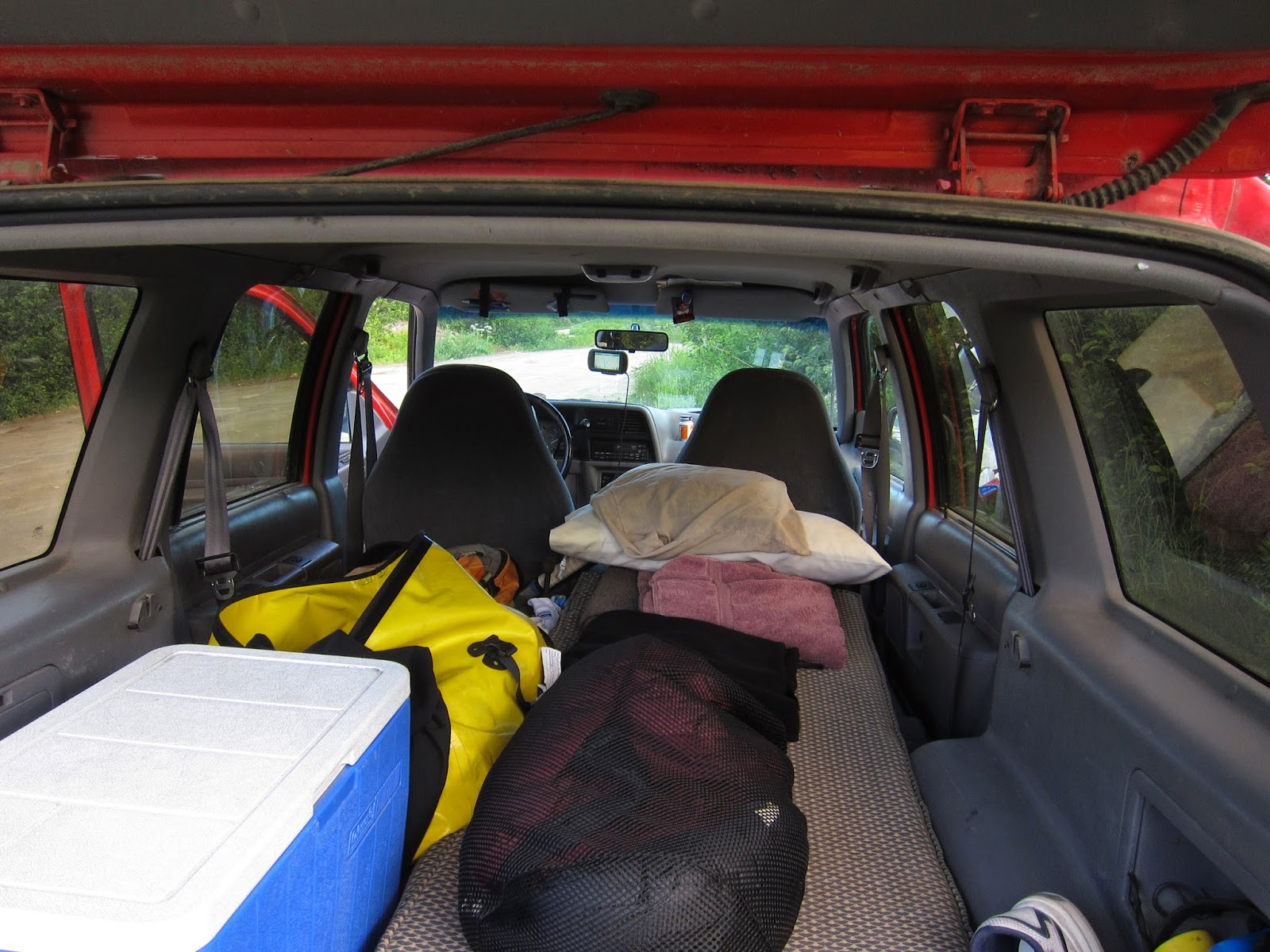
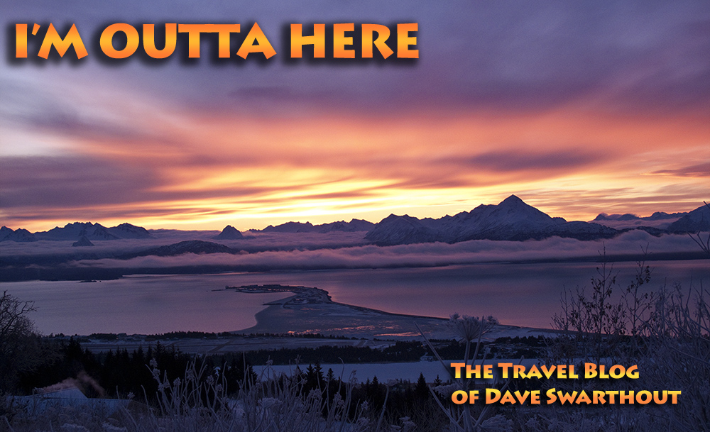
During my annual stay in Alaska I always do the same things. I play tennis, I go to work, I visit friends and eat in the fine local restaurants. I seldom get out into the wild country even though Alaska is a first class tourist destination for people from all over the world. Gas is expensive and I don't like to think myself a crass consumer and contributor to global warming. However, this summer I put those reservations aside and made plans for a longish tour through interior Alaska. I've always loved a good road trip and the Denali Highway tour is one of the best in the world. My old gas-guzzling 1993 Ford Explorer is no travel van but it's roomy and once fitted with a full length foam mattress, it served the purpose. I couldn't really sit up comfortably inside so I had to cook meals and change clothes outside but in back country Alaska, that's no problem.
(Note: To see the following photos at their best, please click to enlarge.)
.JPG) |
| July 20, 2014, Day 1: Camped on the Archangel Road near Hatcher Pass |
Opened in 1957, the
Denali Highway is 135 miles long, most of them gravel, and runs east and west between Cantwell and Paxson through pristine, wild country. Before the Parks Highway from Anchorage was built it was the only way to get to Denali National Park. One had to drive north from the Valdez ferry up to Glennallen, then north again on the Richardson Highway to Paxson, hang a left onto the Denali Highway west to Cantwell, then north to the park entrance, all on unpaved, gravel or dirt roads. My first knowledge of it came during a slide show I saw at the Xerox Corporation where I worked from 1963 to 1972. Bob Gundlach and his family drove from Rochester, NY, to Alaska one summer pulling a fairly large camper/trailer taking a ton of Kodachrome slides along the way which he later assembled into a presentation. It wowed the people that had gathered in a darkened conference room that day in Xerox's Fundamental Research Building in Webster, NY. I was in that audience and perhaps, just perhaps, it was that slide show that initially sparked an interest in going to Alaska.
I have a bit of personal history with the Highway too. During my first summer in Alaska (1983) I traveled with a new friend, Ed Berg, and his daughter Tanya to Denali Park. In those days, one could actually drive into the park and camp for an extended time. We spent three days traveling the Denali Highway in my '69 Ford Econoline van, Ed collecting plant specimens for his botany studies while I collected bird sightings for my life list. It was an idyllic introduction to Alaska, the state I had chosen for my new home. Unfortunately, I didn't own a camera at the time and have no photos of that trip. I traveled it again a couple of years later with my friend Cindy, in 1990 with my buddy Kirk, in 1994 with Alice and Mako, and then in 1997 with my wife to be, Lora. I have also traveled it several times with my son Tuli when he was quite young. Each of those trips had been momentous in one way or another — I was curious to see if the Highway held any new adventures for me. I anticipated doing lots of bird watching and seeing fields full of colorful wildflowers.
.JPG) |
| Seward Highway near Portage |
I left Homer and drove to Anchorage on the crowded Sterling and Seward Highways. The roads were crowded with tourists driving RVs and cars hauling boats and big trailers, the typical heavy traffic of the Alaskan summer season. I visited with friends for a couple of hours in Anchorage, had a latte and a grilled beet-burger at the
Middleway Cafe (love their grilled beet burger!) for dinner and then continued to Hatcher Pass, a popular hiking and skiing area about 40 miles further north.
.JPG) |
| On the road to Hatcher Pass (click on photo for full size view) |
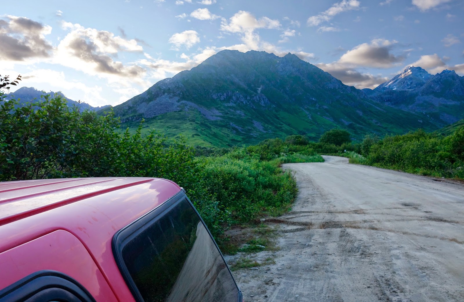
I drove up to the pass but there being no place to camp I turned around and retraced my track until I saw a road sign I recognized from my conversations with my friend Alisa in Anchorage: Archangel Road. True to her advice, it led to some good camping. The unpaved road, although heavily potholed, was no problem to negotiate and after a mile or two of meandering though woods and scrub opened up into a majestic valley. I anticipated a chilly night up that high (2300 ft, 717 m.) but tucked into my light-weight down sleeping bag I had a surprisingly comfortable sleep. A note about camping in Alaska: there are established campgrounds scattered here and there throughout the state. These have potable water, picnic tables, and basic toilet facilities, that is to say, no flush toilets, and cost roughly $10-15 per night. But you can "wild camp" pretty much anywhere you find a spot to your liking. That's what I did each night.
 |
| Last light on Archangel Road — July 20, 2014 (N61.79937° W149.19922°) |
.JPG) |
| Archangel Road scene - morning of July 21, 2014 |
At the outset I had decided to ignore any impulses I might have to add or correct map details on this journey. Mapping has become such an obsession and these days it absorbs most of my spare time. That's usually okay — I have lots of time and I love contributing to the
OpenStreetMap but I sort of wanted to have this lazy trip with no special goals and no long hours of data entry when it was over. Alas, it was not to be. There are not many volunteer OSM-ers working in Alaska. Hell, there's not many people in Alaska, period! Consequently, the positional accuracy of the roadways and their names, not to mention the water features and other points of interest (POI), is not so good. Alaska is a vast region and is, except for established highways, mostly unmapped by those of us in the open source movement. As soon as I left Homer I began to notice errors in the OSM data presented on my GPS. Shortly I fired up my little Canon point & shoot camera and began taking photos of street signs and POIs. I would eventually spend many days adding new data and correcting existing data for the OSM map of Alaska.
After leaving the Archangel Road camp I hit the
Glenn Highway near Sutton, where I stopped for breakfast. The Glenn follows the Matanuska River valley east and upstream, wending its way toward Glennallen. The valley is very scenic, the road smooth and lined with turnouts offering fine views of the beautiful country it passes through. As the sun warmed the air, I was able to shed my jacket and ride with the windows rolled down.
On such a fine, warm day naturally my thoughts turned to contemplating how enjoyable this ride might be from the seat of a motorcycle. However, as I am well aware, biking in Alaska differs quite a bit from biking in Thailand. Morning and evening temperatures demand full fairings for the bike and lots of warm, windproof clothing for your body. It's a constant fight to stay warm and getting wet could turn into a minor disaster. Here in Thailand, it's the other way around — warm clothes are seldom needed and getting wet can be a good experience.
.jpg) |
| Glenn Highway scene |
.jpg) |
| Glenn Highway — the silt laden Matanuska River |
.jpg) |
| Glenn Highway — view south |
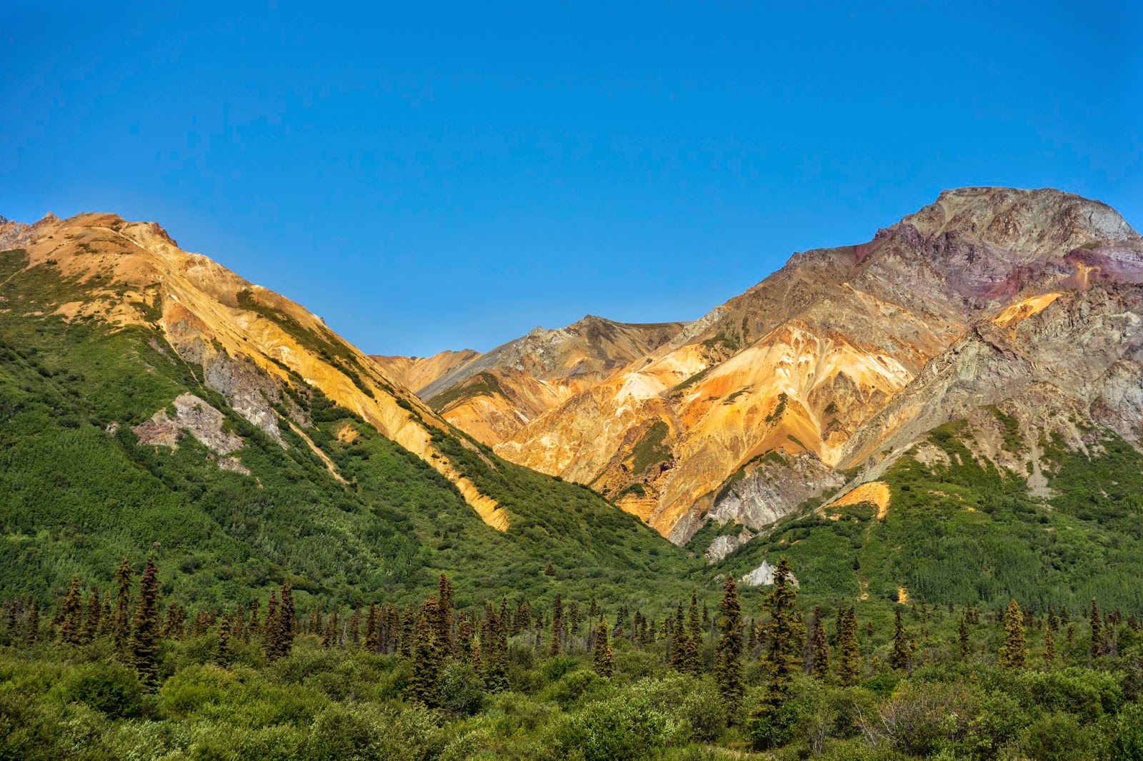
.JPG) |
| Glenn Highway — View west toward Glenallen and Mounts Sanford (16,200 ft) and Wrangell (14,100 ft) |
I stopped in Glenallen for gas and asked the gal running the pump if a guy could get a decent burger anywhere in town. She quickly pointed to the Caribou Restaurant next door. For about $15 including tip I had a most excellent cheeseburger and marked it as a place to visit next time I get this far north. It can be tricky to find good food in these parts so I felt lucky to have discovered it. (Of course, I added it as a POI to OSM later.)
The Glenn Highway ends here at its junction with the
Richardson Highway (AK 4). Constructed in 1898, the present day Richardson Hwy runs north to Delta Junction and Fairbanks and south through the Thompson Pass to Valdez, the southern terminus of the Trans-Alaska Pipeline and the port from which the ill-fated
Exxon-Valdez had departed March 23, 1989 just before spilling about 20 million gallons of crude oil into Prince William Sound. The pipeline parallels the highway for most of its length. After scanning the Wikipedia article (above) I learned that this was the first road ever built in Alaska, developed as an "all American" route to the Klondike gold fields. I must confess, I did not know that until just now.
 |
| First car to drive the Richardson Highway - 1913 (Wikipedia) |
I was driving at a decidedly leisure pace, frequently detouring to check out promising camping and fishing spots, simply exploring. This trip differed from past times I'd been here because I had no defined time frame — I was free to explore any little intersecting roads or ponds that piqued my interest. Rather than wondering where this road or that one went, I took the time to check them out and in doing so found some interesting things. For example, I spotted two gorgeous red-throated loons on a tiny lake named, by some strange coincidence, Buffalo Lake, (Buffalo NY, is my birthplace) which I found at the end of a short gravel road just west of Glenallen. I have seen loons before, lots of them, but never this species.
Some of the lakes I added to OSM along the Glenn Highway are: Lost Cabin Lake, Bug Lake, Bench Lake, Bonnie Lake, Hundred Mile Lake, Index Lake, June Biffle Lake, Long Lake, Rush Lake, Tatondan Lake, Weiner Lake, Game Trail Lake, Trail Lake, Knob Lake, Hunter Lake, Shallow Lake, Tahneta Lake, Salmon Berry Lake, Buffalo Lake, and Tex Smith Lake. This is a picayune list when you consider that Wikipedia tells us
Alaska has over 3,000,000 natural lakes! Of those, only about 3,200 have names. I quickly glanced at Wikipedia's list of names and found neither Bug Lake nor Buffalo Lake on it. I stopped looking immediately and purposely didn't save the URL.
It was about 8 pm when I finally turned west onto the Denali Highway. I was ready to stop driving and anxious to pull over as soon as I found a suitable spot.
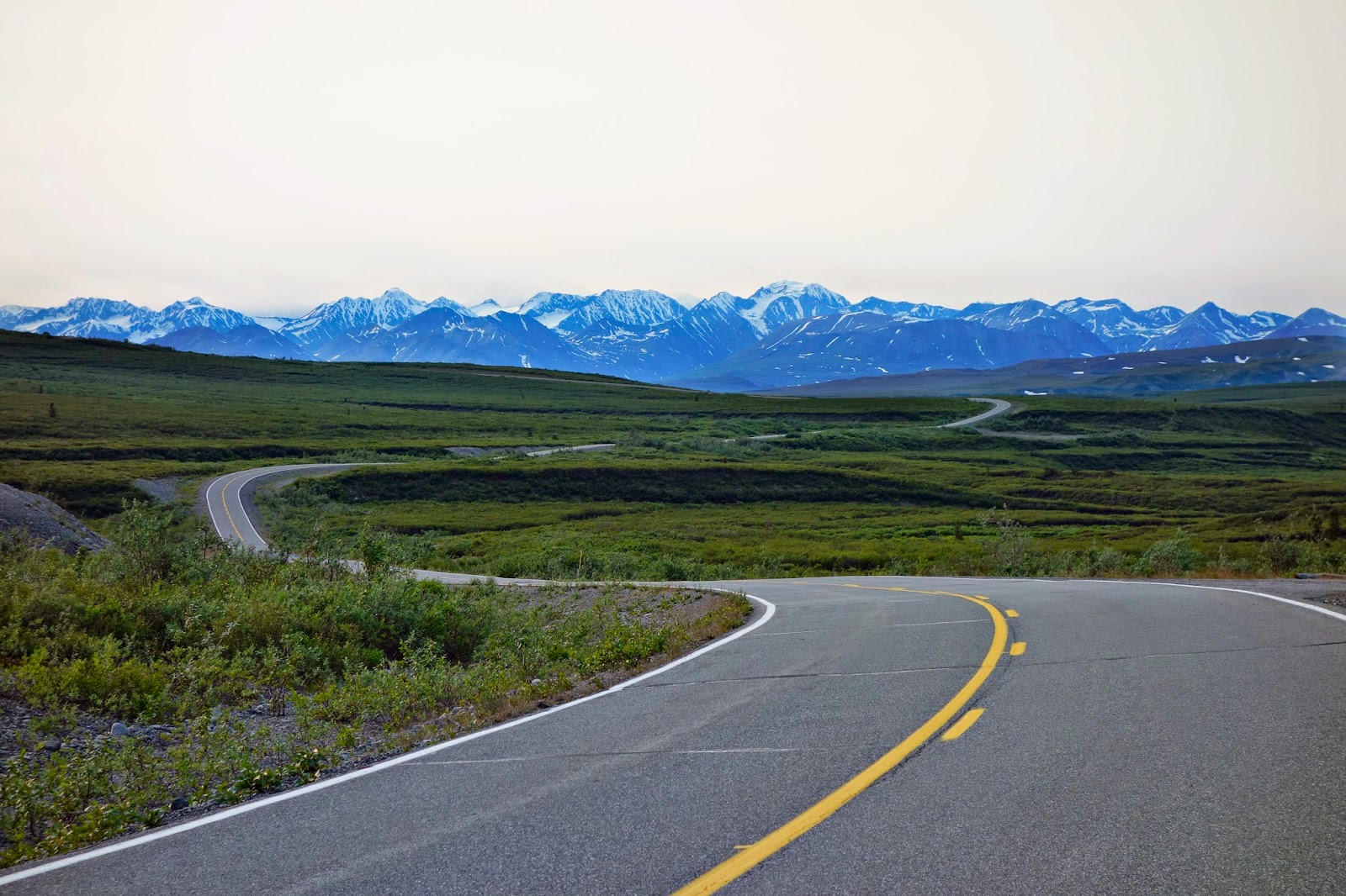 |
| Denali Highway — 8 pm |
The first interesting looking side road led to picturesque Sevenmile Lake
(N63.09838, W145.61994), but the only good campsite on it was already taken. I pushed on until I came to a wide, graveled pull off near Seventeen Mile Lake — it was nothing special but I was tired and hungry and would be asleep soon anyway. I had dinner to the accompaniment of music playing on my iPhone and new Bluetooth speaker. My thoughts that evening turned to previous trips on the the Denali Highway with old loves and my ex-wife, Lora. The music I listened to was somewhat melancholy but it sort of fit with my mood, the darkening sky, and the lonely surroundings I found myself in. I had a bottle of Beck's with my simple dinner of smoked salmon and canned veggies, took a few tokes of some excellent Homer bud and turned in for the night.
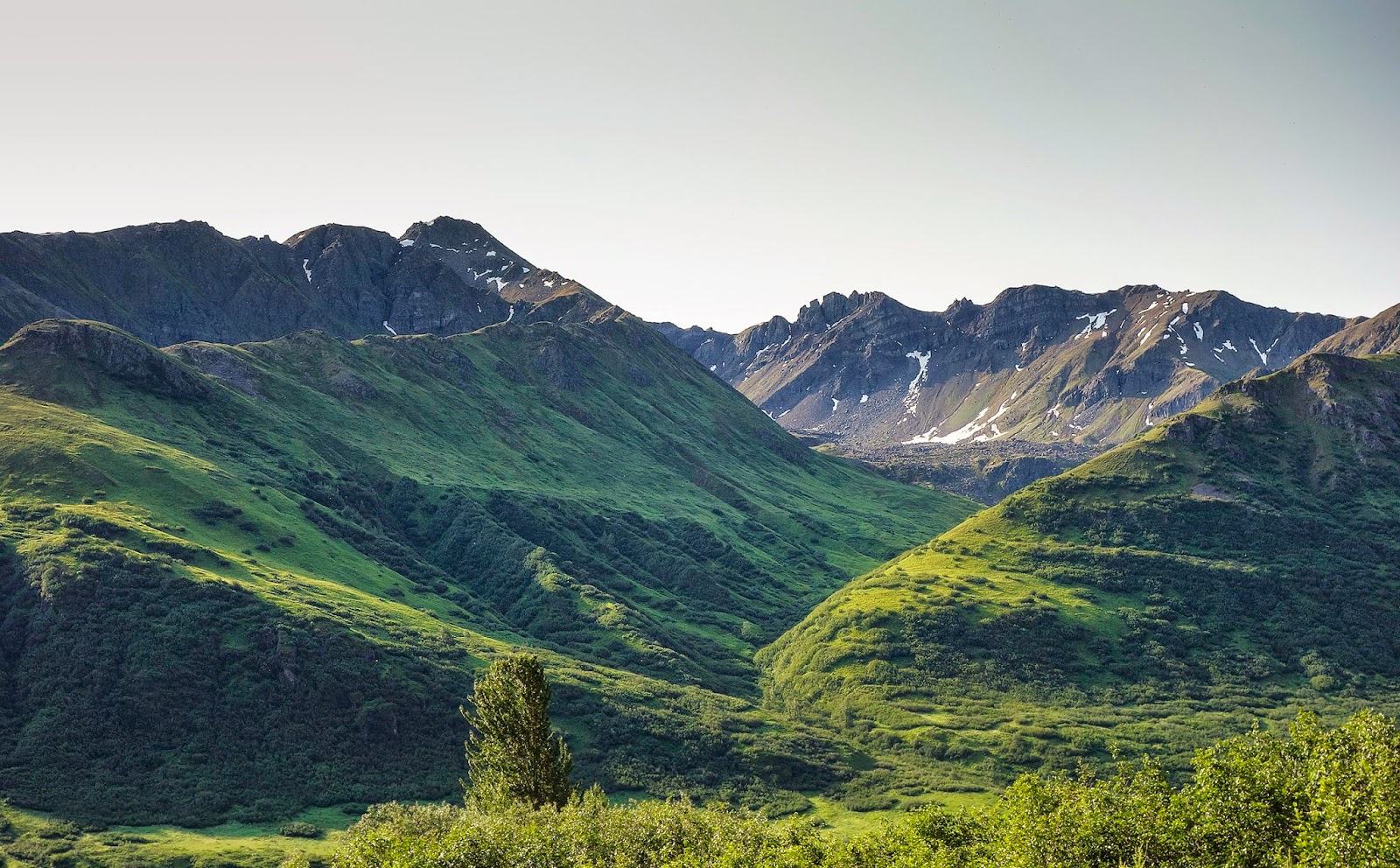
Next day was another perfect day for driving. Sunny skies and temperatures in the 70s encouraged me to ditch my jacket for a short sleeve shirt and roll the windows down. I poked along ever so slowly, seldom moving more than 15 mph while I rubber necked the scenery. I stopped and hiked up to a low rise just east of the Tangle Lakes area and got this photo looking north.
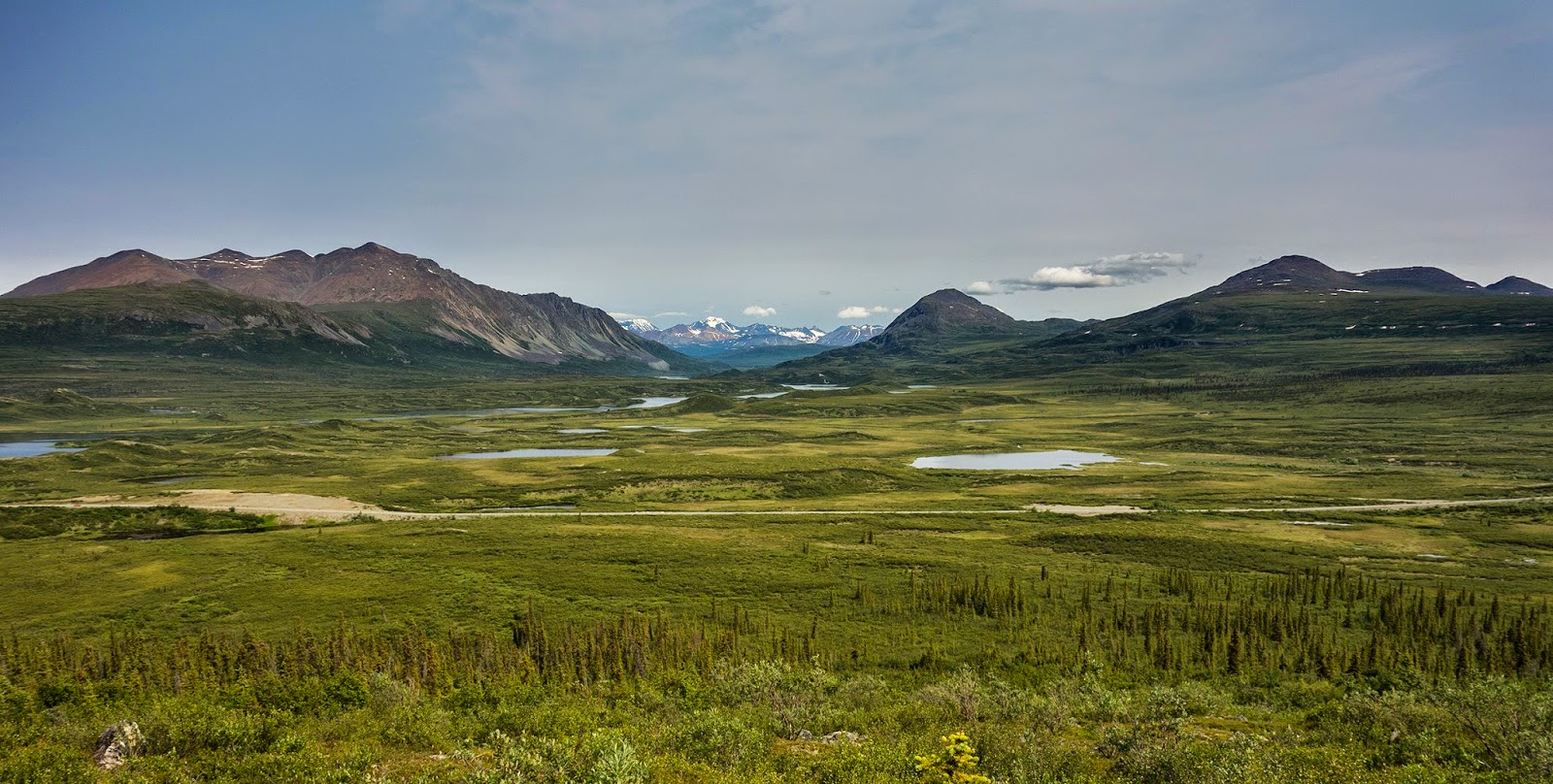 |
| View of Tangle Lakes from Swede Mountain Trail |
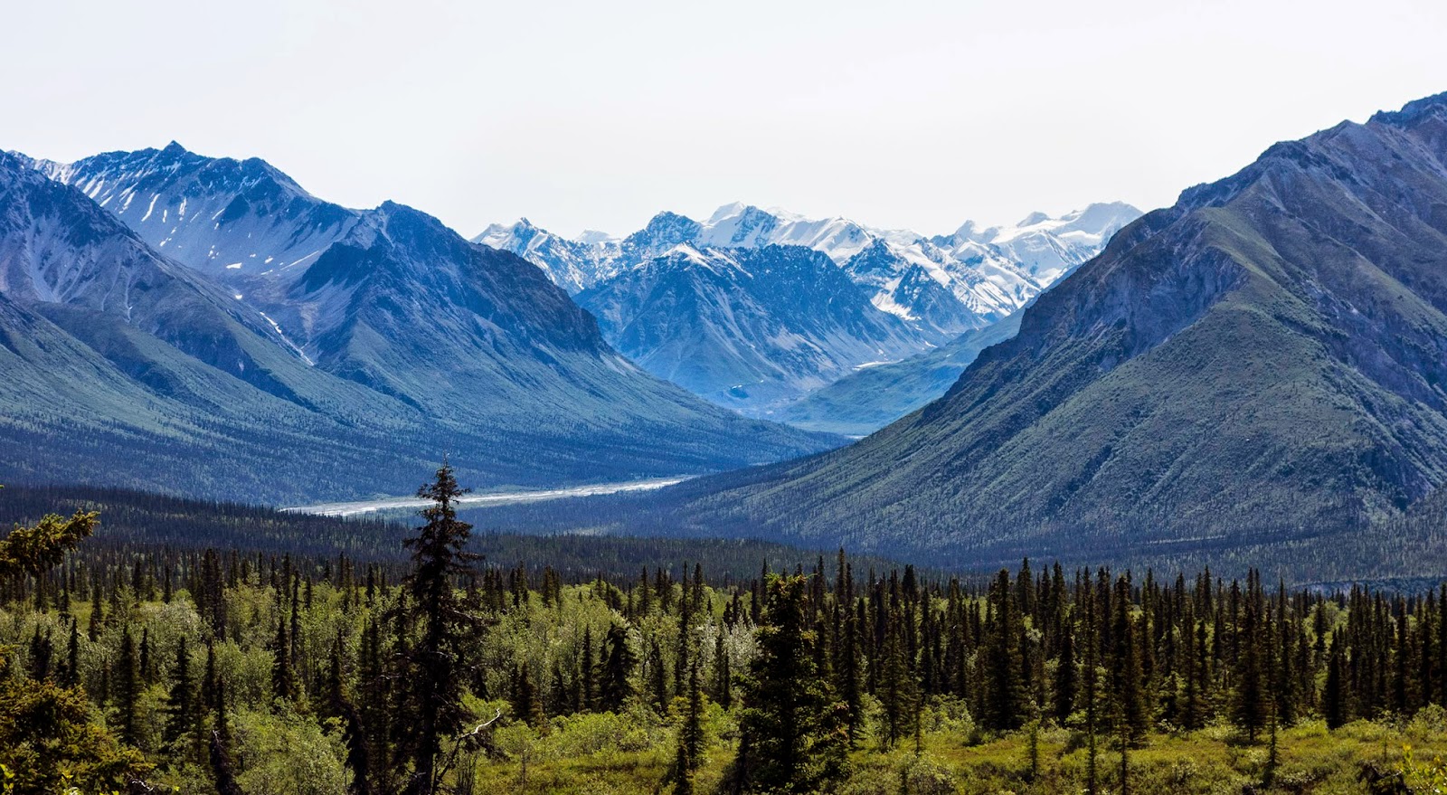
A bit farther along, I got these shots. The clouds that are starting to appear seem to threaten rain but I was keeping my fingers crossed and hoping for the best.
 |
| View north from Denali Highway |
 |
| Denali Highway scenery |
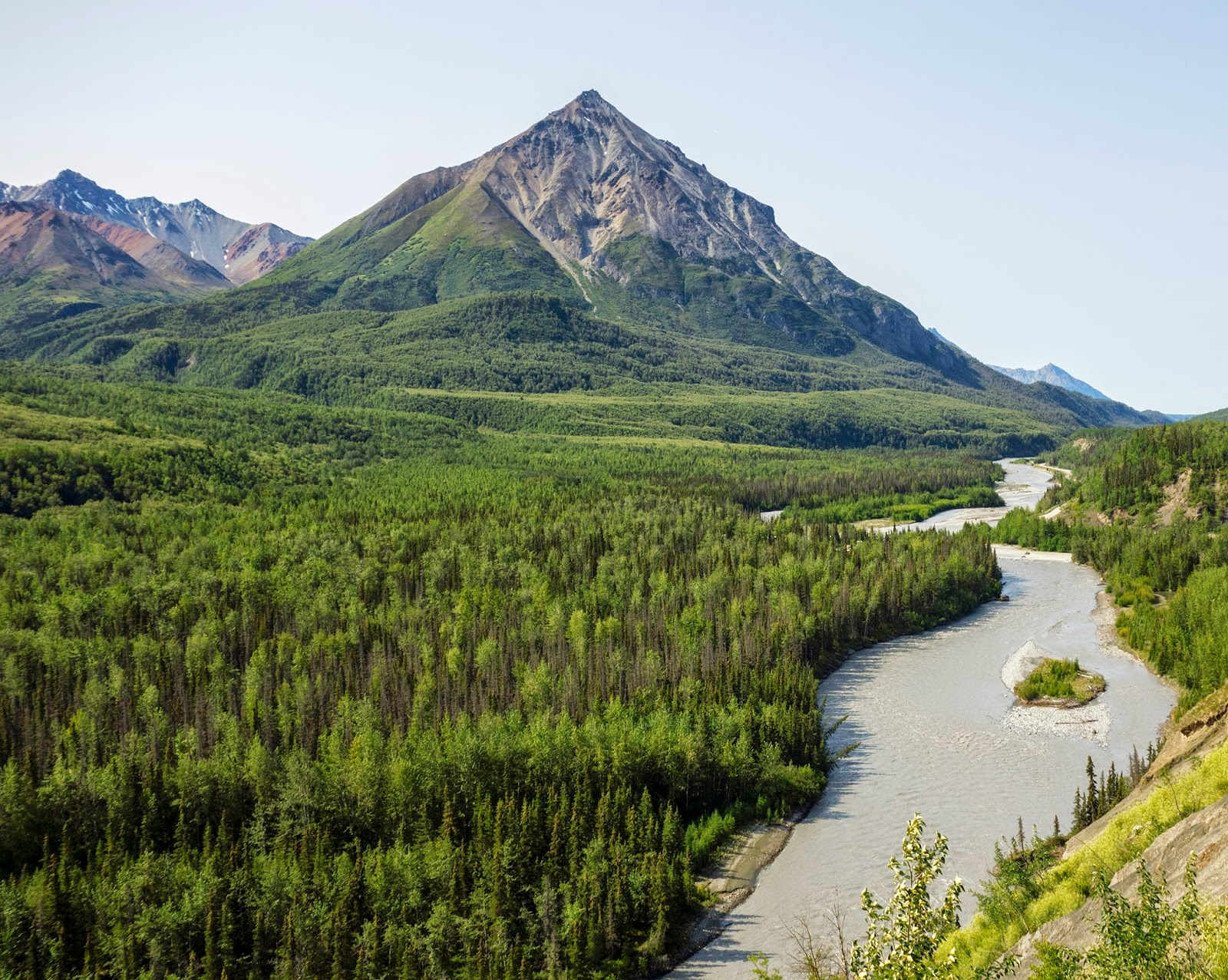
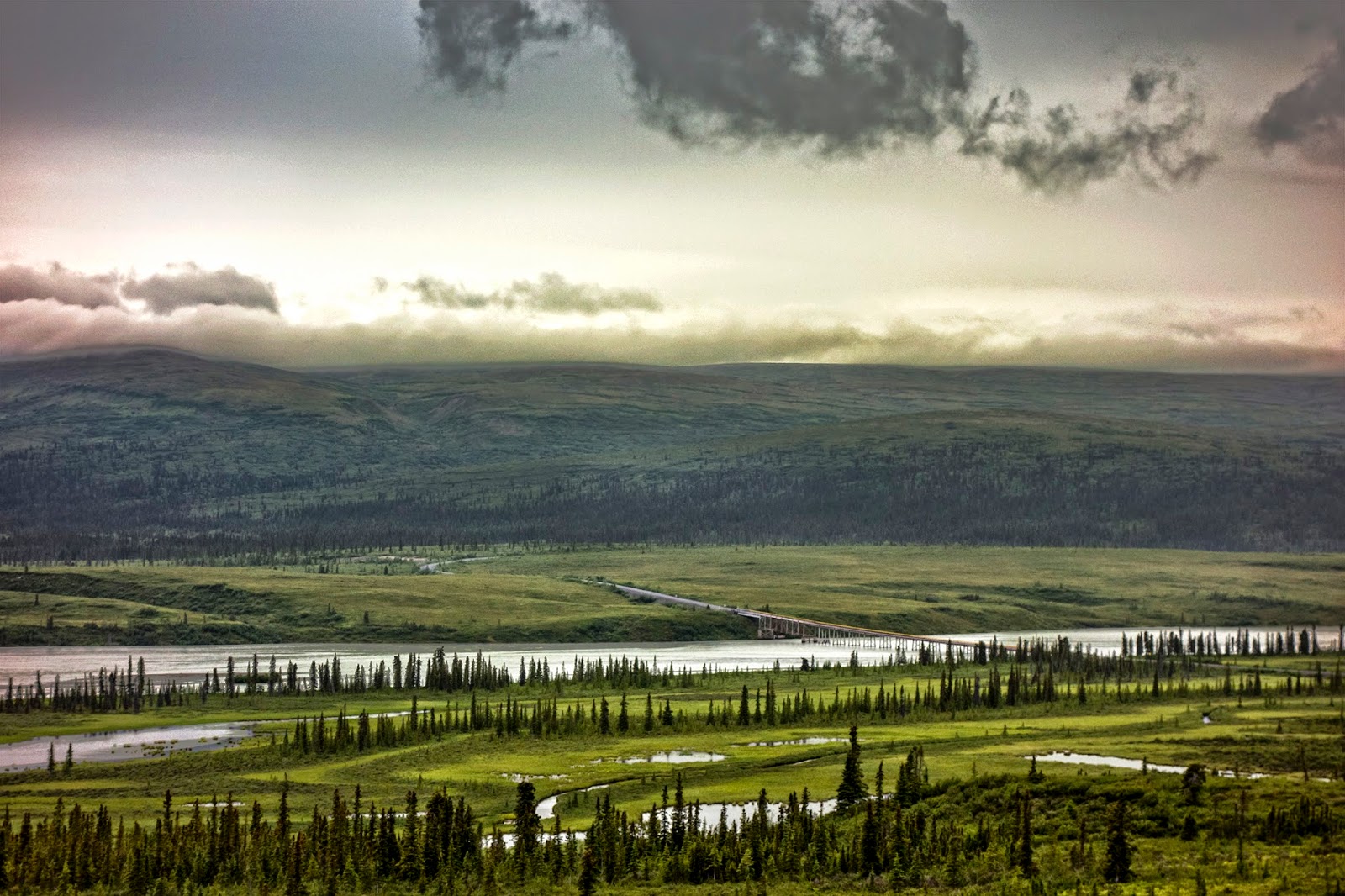
.jpg) |
| Denali Highway with the mighty Susitna River in the distance |
As I approached the Susitna River I began thinking about where I might camp for the night. There was a road I wanted to explore the next morning and it runs north along the west side of the river, the side I was on, so I didn't want to cross the river just yet. It was nearing 7 o'clock when I turned off the Highway onto a little nondescript track that led to one of the sweetest camping spots I've ever seen perched on the western shore of tiny Swampbuggy Lake. But just like yesterday, the best site was already taken. I gave the campers, a man and a woman of about the same age as me, a wave and a friendly greeting and pulled my car to the far side of the clearing and parked. Not wanting to interfere overmuch but also not wanting to drive somewhere else I hoped to assess the feelings of my neighbors, who were obviously intending to stay the night, about sharing the camp. With that in mind I strolled over to make small talk with the couple, who were sitting before a cheerful campfire with glasses of wine in hand, enjoying the perfect view and the gentle breeze coming off the lake.
I introduced myself, and they in turn did the same. They were retired, from Michigan, and had been traveling for several months in their nicely fitted out Roadtrek van, a vehicle I have long yearned to own. They were very friendly and seemed not to mind in the slightest that I was there. We chatted for 10 or 15 minutes exchanging travel stories and discussing their Roadtrek until I went to have some food. After supper I took a short walk down to the lake shore where I partook of the oderiferous herb and stood for a while, gazing at the darkening clouds moving our way. Rain coming, I thought. Beautiful clouds, and such dramatic lighting! I decided I should take some photographs so I strolled back to camp to fetch my camera.
They were gone!
Just as the old adage would put it, they had packed up their tent and stolen away. I couldn't believe it. The fire had been hastily doused, the awning rolled in, lawn chairs packed, wine drunk(?). How they could have been so friendly while they were surely railing inside over their misfortune at having to share the campsite, is beyond me. Some people are strange. I promptly moved the Explorer into the primo spot, put the tea water on, fanned the fire until the sparks again danced overhead and settled down for the night. My thanks go out to you Michiganders, Michiganians, or whatever you call yourselves, wherever you are, for giving me your perfect campsite that night.
.jpg) |
| Evening clouds at Swampbuggy Lake (N63.05497, W147.41556) |
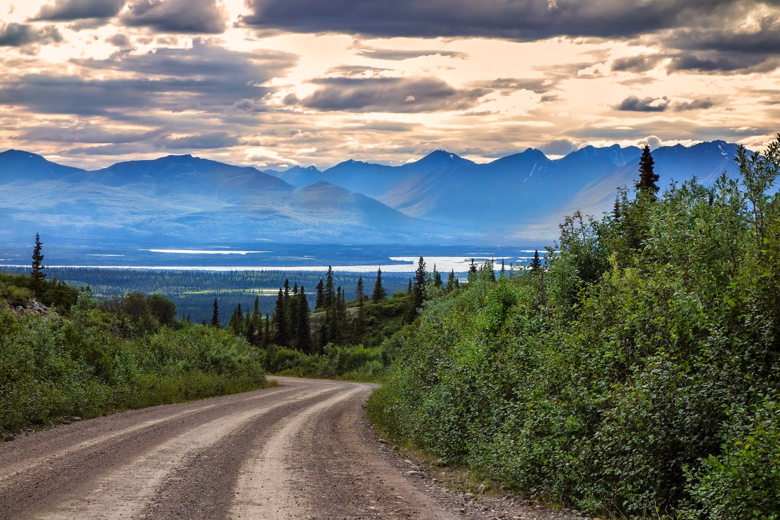
I woke to light rain the next day. It might not be a good day for photography but it wouldn't affect my ability to do a little exploring. While I was still in Thailand last spring I had begun working on areas of Alaska that needed mapping attention. I had looked at this area, the west bank of the Susitna River, with interest because I had for years wanted to explore the road I planned to drive this morning. Various maps had it labeled Roosevelt Lake Trail but that trail on OSM ends in the middle of nowhere and never reaches the Denali Highway. My son Tuli and I had fished a small stream for grayling somewhere on this road when he was a youngster. If this was indeed the the road I remembered, it did intersect the Denali Highway hereabouts. I also knew there was a large mine up there somewhere. Just after leaving Swampbuggy Lake next morning I snapped this photo of the Susitna River bridge.
%2B(DSC02848).jpg) |
| Denali Highway bridge on the Susitna River |
I turned north onto the road in question, which is a well used, wide gravel road. It was unmarked and crossed several good sized streams without the benefit of bridges. The Ford Explorer I was driving has 4WD but it isn't working so driving across streams out there is a risky proposition. I put on my boots and walked across Windy Creek before attempting it in the car. It had a firm, gravelly bottom that I correctly guessed wouldn't present a problem with the high ground clearance of the Explorer. Several other nearby crossings were smaller and I just splashed on through. By this time the rain was falling steadily, lending an almost eerie aspect to the forest and the road ahead, which was barely discernible through the gathering mist. About 15 miles further on the track finally led to what I guessed was the mine because I could see some large buildings on the ridge ahead. But I could go no further. Fox Creek was deeper than Windy Creek and had a softer bottom of mixed gravel and mud. I decided not to push my luck. I had hoped to reach Roosevelt Lake but that goal will have to wait until the next time I'm up this way. The road is the only way into the mine and must be heavily traveled by trucks and pickups which explains why it is so wide and well maintained. I resolved then and there to get the 4WD fixed before my next expedition into the back country.
I had passed a lake a couple of miles back that wasn't on the USGS Topo maps, which is very odd because they are the definitive reference for geographic features in the United States. I stopped to fish in the feeder stream for a short while but nothing was biting so I headed back to the Highway and crossed the Susitna. I stopped for pie and coffee at the Gracious House diner a while later and that's where I learned something about the lake and the mine.
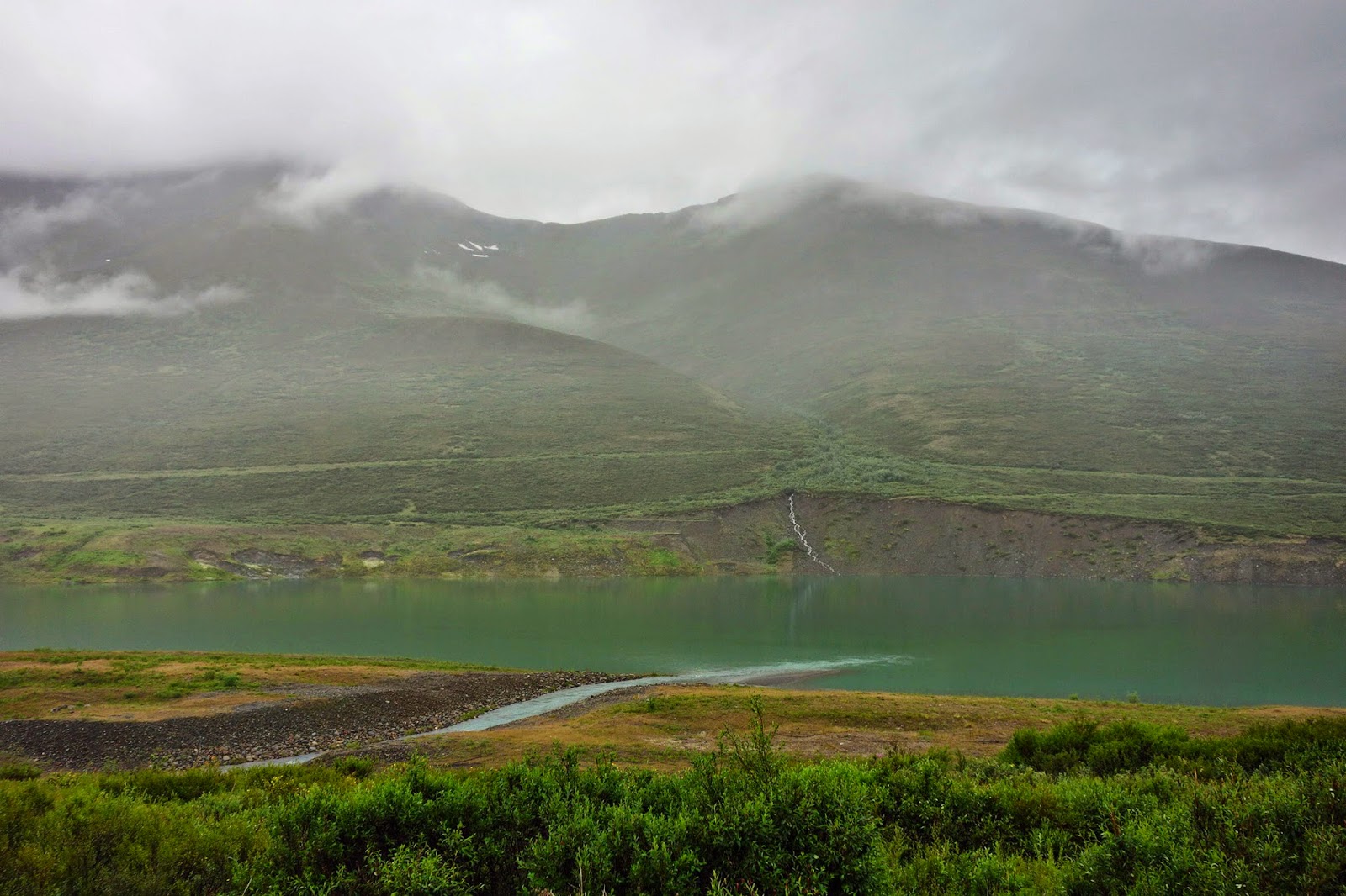 |
| Lee Lake and Valdez Creek |
The fellow who supposedly owns the lodge and who served my coffee told me he's a retired bush pilot who has lived in the area and run the lodge for many years. He said the lake is named after him because he was the first person to land a float plane on it. Furthermore, the lake is artificial. It's an abandoned strip mine, part of the Valdez Creek Gold Mine operation, turned into a lake by diverting Valdez Creek through it. Unfortunately, the diner filled up with customers just after our talk and I never did get his name or more details beyond the fact that the lake was called Lee Lake.
I say supposedly because after trying unsuccessfully to verify his story I wonder now if he wasn't just pulling my leg. The only bush pilot I could dig up who's associated with Gracious House is a fellow named David "Butch" Gratias, the owner of Gracious House. Here is a link an
Alaska Dispatch article about Gratias, who recently survived a plane crash on the Susitna Glacier. I can find nothing about Lee Lake or Lake Lee except for one on Kodiak Island. I did however see references to the diversion of Valdez Creek to fill an old strip mining excavation. Mining began in this area in 1903 and the ancestral Denali Highway, at first only a rough track from the Richardson Highway (see above) west to Valdez Creek, was built to serve the mines. The genesis of the lake's name will probably remain a mystery for a while, at least to me. At any rate, the ride up the Valdez Creek Mine Road was a high point of the tour.
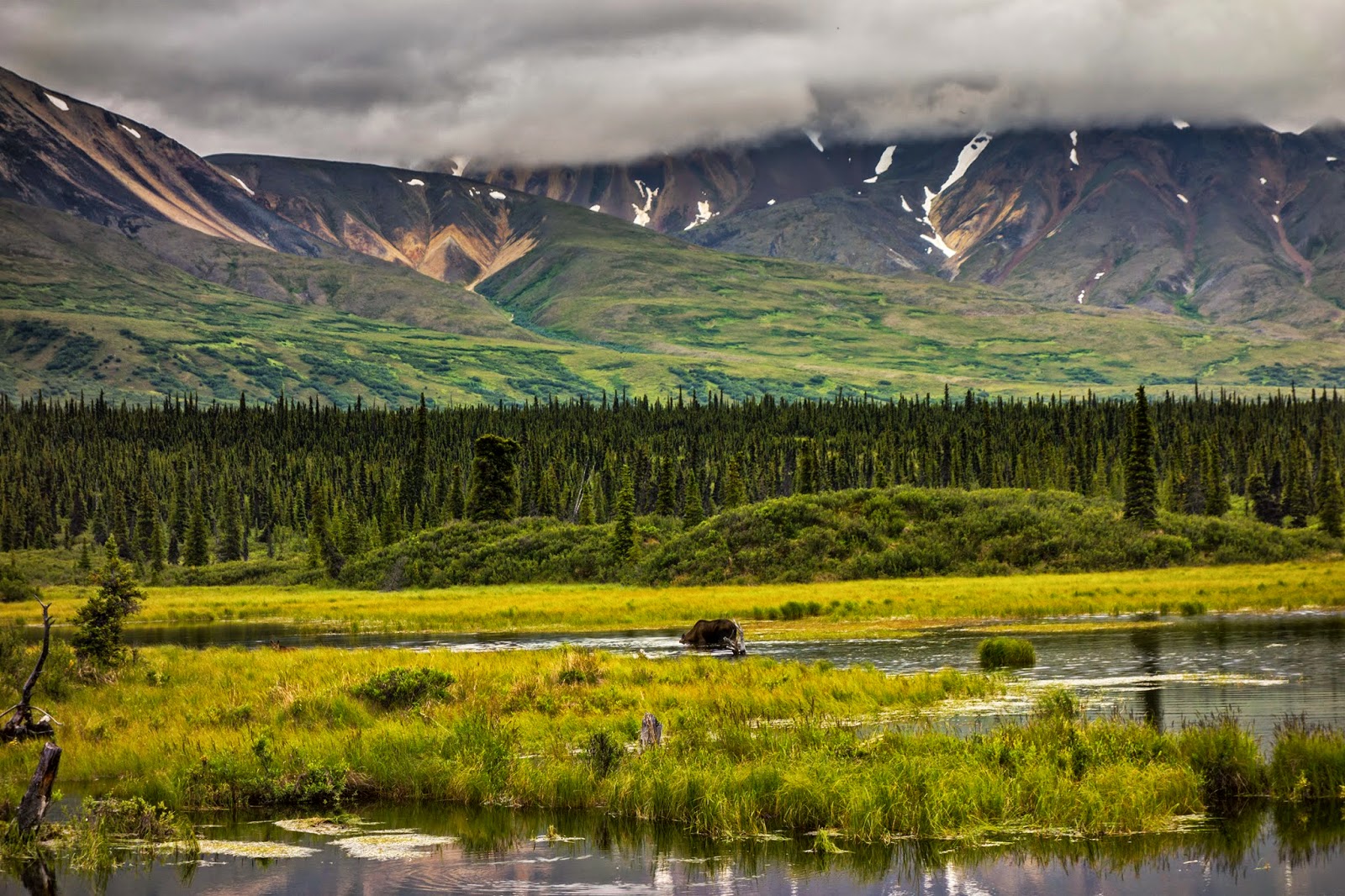.jpg) |
| Cow moose grazing in a bog - Denali Highway |
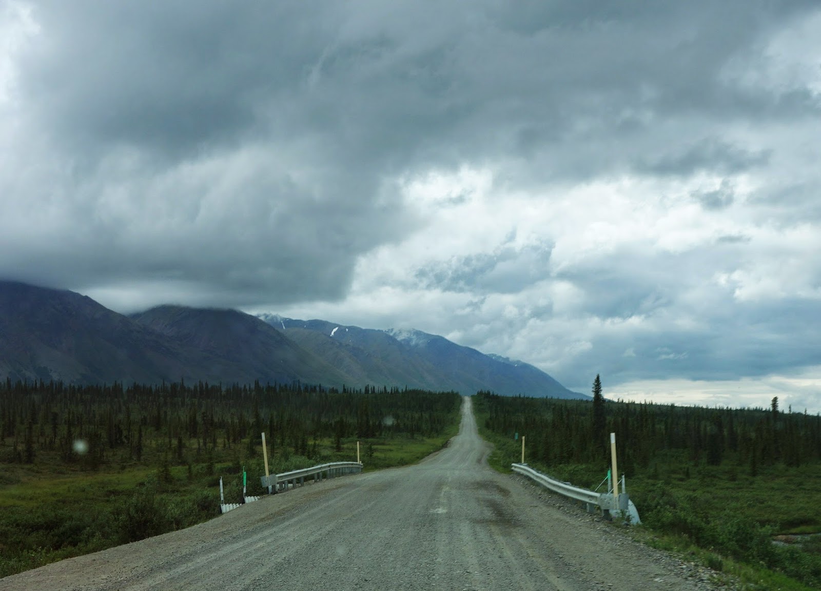 |
| I picked up the pace on the last miles of the Highway |
Given the less than ideal weather, I decided I might as well head back to Homer. I explored the Petersville Road for a few hours at the end of a longish day in the car. It's another Alaska road I'd always wondered about but hadn't driven. I wanted to get at least to its namesake, the tiny town of Petersville, but turned back when its bone jarring surface and the rattles of the old Ford got the better of me.
I camped overnight in a little pull off and left early next day. I had lunch in touristy, bustling Talkeetna and then drove a few more nearby roads, taking photos for my mapping work later, before turning south on the Parks Highway for Anchorage.
The trip was good overall. I was a bit disappointed because I saw few wildflowers and no interesting wildlife or birds other then the two loons. In looking back in my journal from 1983 I see that the trip with Ed that was so memorable because of the cool flowers and birds we saw was made earlier in the summer — I had missed the peak of both seasons. Nevertheless, I did get into some gorgeous country and it inspired me to make a similar trip next summer. I've never been to McCarthy or the Kennecott mines and that area would certainly be interesting. We'll see.
.JPG)
.JPG)
.JPG)

.JPG)
.jpg)
.jpg)
.jpg)
.JPG)


.jpg)
.jpg)
%2B(DSC02848).jpg)

.jpg)

.JPG)
.jpg)


.JPG)
.JPG)


